The figure sounds fine. Ofcom’s Connected Nations Spring 2026 Update puts 4G geographic coverage from at least one mobile network operator at 96% of the UK landmass, and the Shared Rural Network has been adding square kilometres at a pace that lets politicians feel good about themselves. If you read that number in a warm room, it sounds like a problem that has largely been solved. Take it up a Scottish glen in October and it becomes something else.
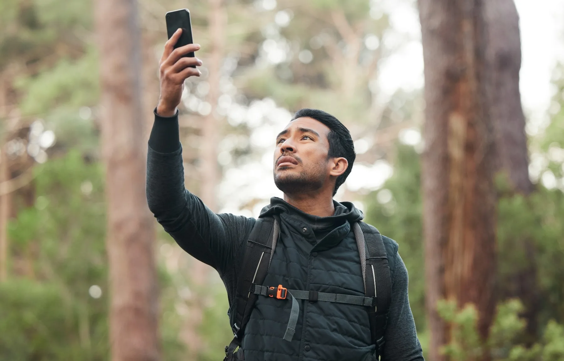
The crux is terrain, not percentage. Scotland, Wales and the North East have the lowest 4G landmass coverage of any part of the UK, and within those regions it is the approaches and crossings, the bealachs, the glens, the loch-side paths threading between summits, that drop signal entirely. This is documented pattern, not bad luck: summits may pull in a bar, but the ground between them frequently does not. The places where hikers move slowly, turn an ankle, get caught by weather, or simply lose the route are the places the network does not reach. Knowing this matters, and so does knowing which network you are on. EE performs best in the Highlands. Three is the weakest of the four major operators in Wales, the Highlands and rural Northern Ireland. If you are walking the Cairngorms on a Three SIM, you are not really on a network at all.
The 3G switch-off in 2025 sharpened this problem quietly. Remote coverage now depends entirely on 4G or 5G capability; any hiker carrying an older handset has no cellular fallback whatsoever. Most people have not thought about this. Most people will not think about it until they need to.
Apple’s Emergency SOS via Satellite, available on iPhone 14 and later, is a genuine step forward and it would be dishonest to dismiss it. It connects through Globalstar’s low-Earth orbit network to Apple-trained relay specialists who contact emergency services on your behalf. It costs nothing through November 2026, after which Apple has announced no pricing. It is a one-way panic button with no two-way messaging in the UK, since Messages via Satellite remains limited to the US, Canada and Mexico. It is better than nothing, but it is not a conversation. If the mountain rescue coordinator needs to know whether you can move, you cannot tell them.
That two-way capability is the reason the Garmin inReach Mini 3 Plus and Garmin inReach Messenger exist and why the argument for carrying one is not really about coverage statistics at all. Both run on the Iridium global constellation, independent of any cellular network, and both work where summits themselves do not have signal. The Mini 3 Plus adds onboard navigation to the package, basemap, waypoints, route-following, weighs 100g, carries an IP67 water rating and runs to 28 days battery life in 10-minute tracking mode. The Messenger strips navigation out and relies on a paired phone for maps, but it switches automatically between cellular and Iridium satellite, which means you are covered before you even notice the handover. Both require a subscription: plans start from around £10 a month. In 2025, Garmin reported that more than 12% of inReach SOS activations ended in self-rescue, users talking back and forth with responders until the situation resolved without deploying emergency resources. That is what two-way messaging in a bealach is actually worth.